http://blogs.esri.com/esri/esri-insider/2014/12/09/the-first-detailed-ecological-land-unitsmap-in-the-world/?utm_source=esri&utm_medium=email&utm_term=78724&utm_content=article&utm_campaign=globe_2014

The First Ecological Land Units Map of the World

by Matt Artz on

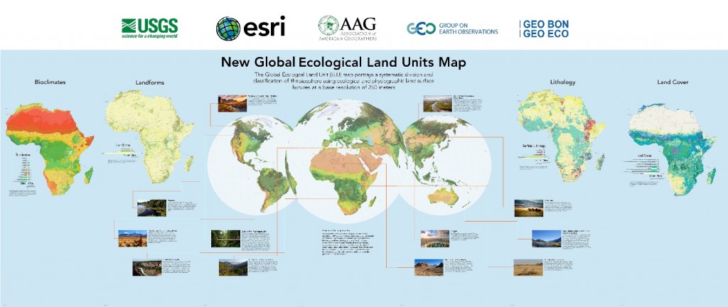
The US Geological Survey (USGS) and Esri are pleased to announce the publication of the most detailed global ecological land units map in the world. This exciting new global data set provides a science platform for better understanding and accounting of the world’s resources.  Scientists, land managers, conservationists, developers, and the public will use this map to improve regional, national, and global resource management, planning, and decision making.

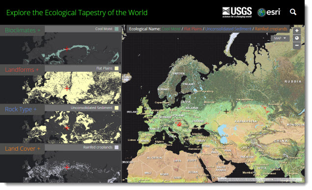
Ecological Tapestry of the World online explorer application: Explore the ecological data behind the land unit map and begin planning how it can be used in your work.

This map as well as the data layers used to create it can be explored in a new story map that introduces ecological land units. The data is available in the form of services and can enrich any GIS effort.

The collaborative partnership between Esri and USGS resulted in a dynamic online map representing the world’s ecological diversity at unprecedented detail and authority. This work leveraged quantitative methods, geographic science, and big data produced by government agencies and the scientific community.  To create this map the data were processed in Esri’s ArcGIS cloud computing environment. This map provides new knowledge and understanding of geographic patterns and relationships by distinguishing the geography of the planets’ ecosystems.

To better understand the significance of the new Global Ecological Land Units (ELUs) map and the data behind it, I recently met with project leads, Roger Sayre, Ph.D., Senior Scientist for Ecosystems, USGS, and Randy Vaughan, Manager of Content Engineering, Esri.


What is Global Ecological Land Units map?

Roger Sayre, USGS: The Global ELUs map portrays a systematic division and classification of the biosphere using ecological and physiographic land surface features.

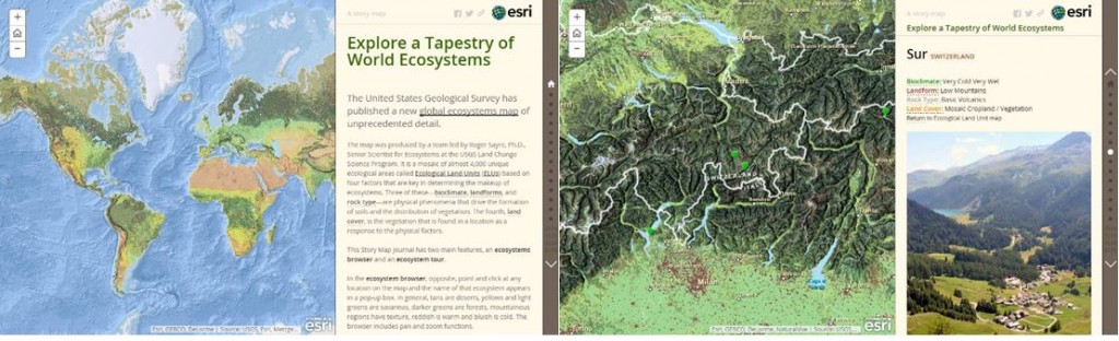
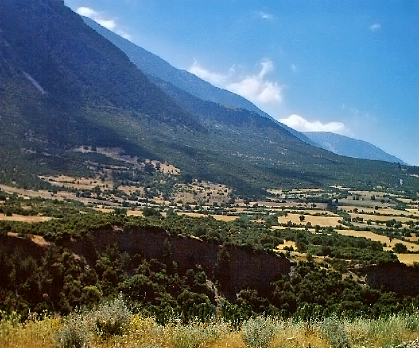
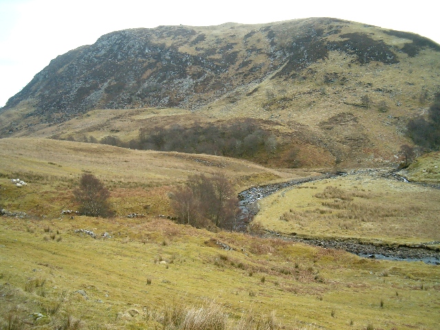
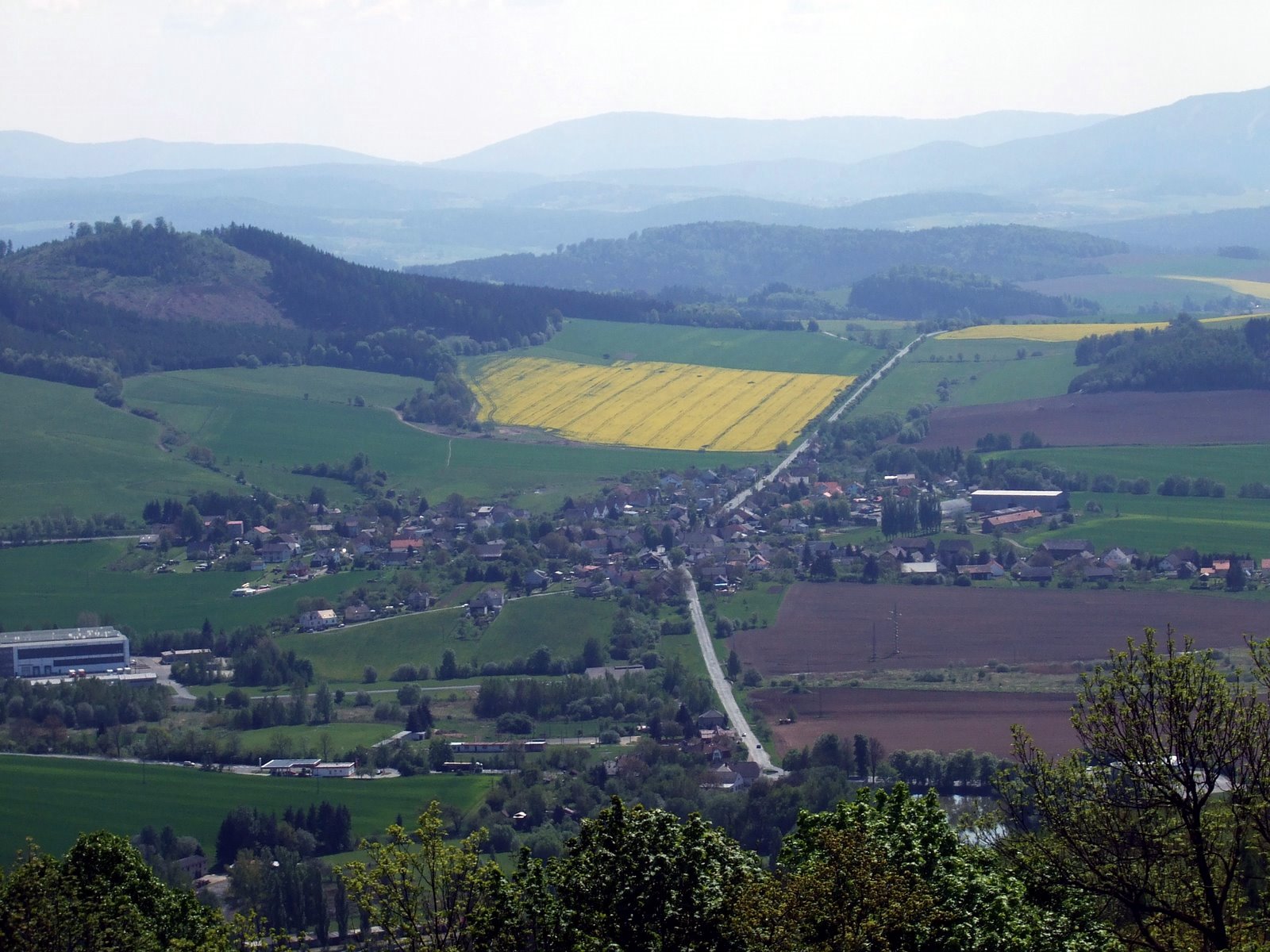
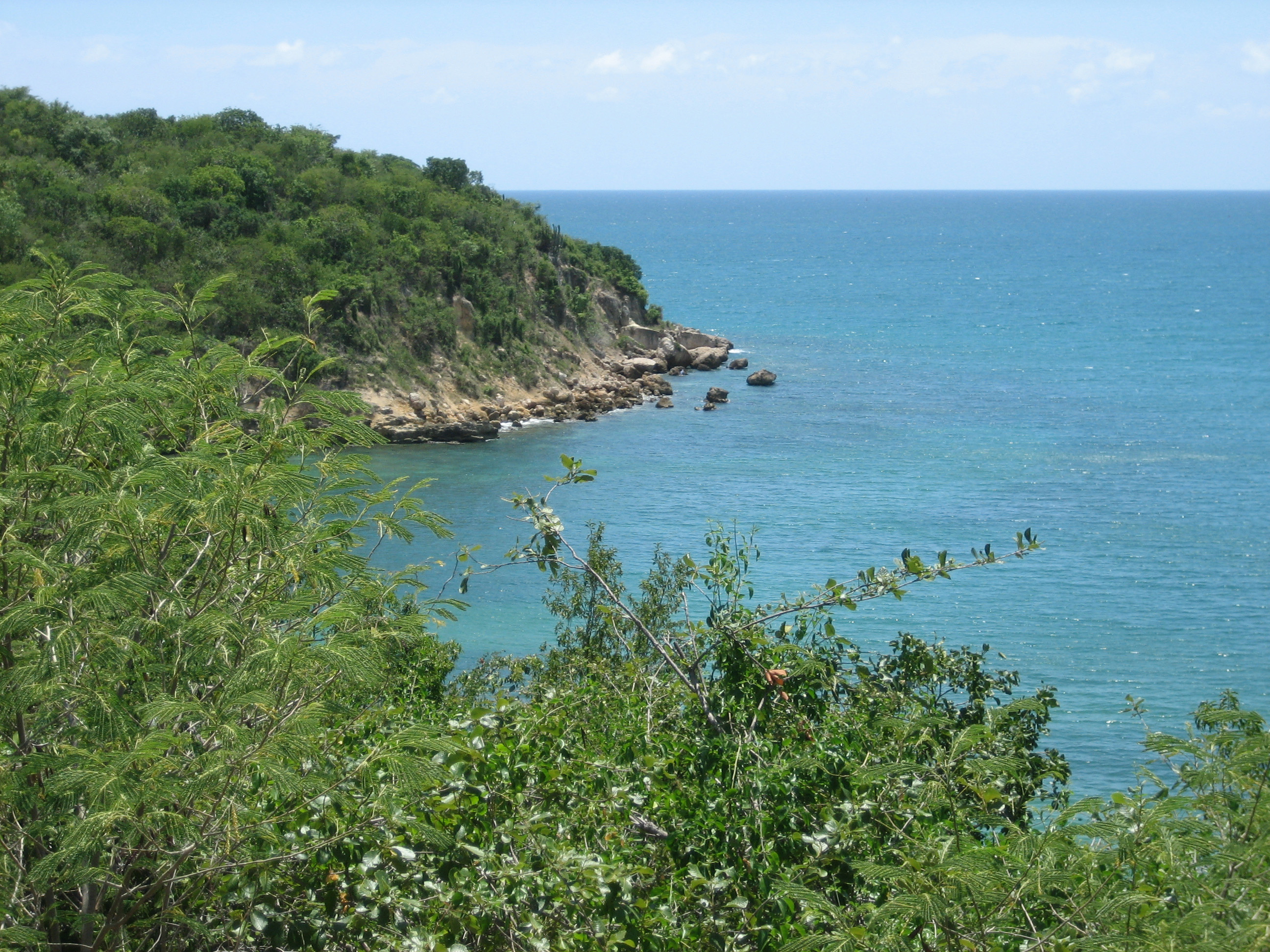
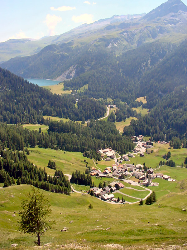
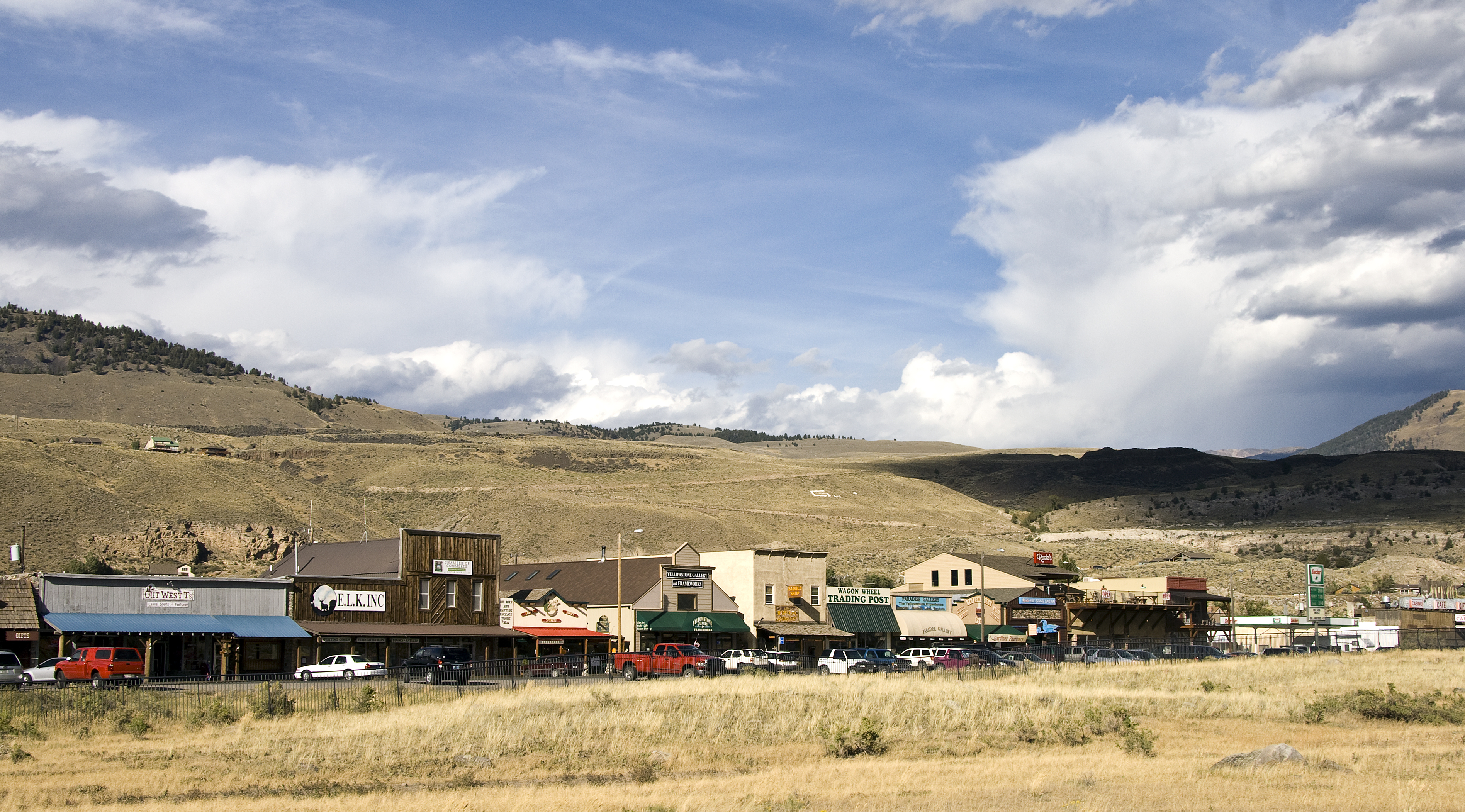
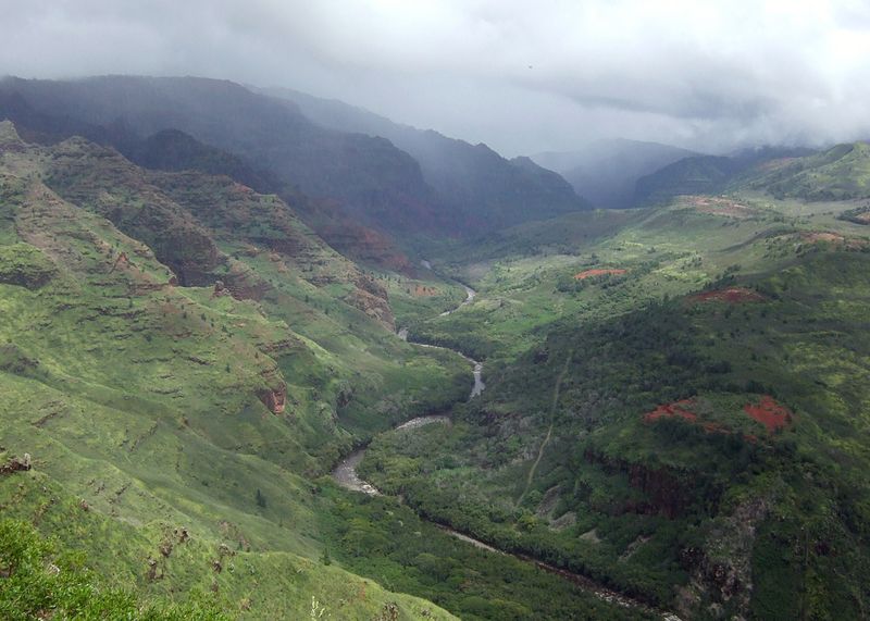
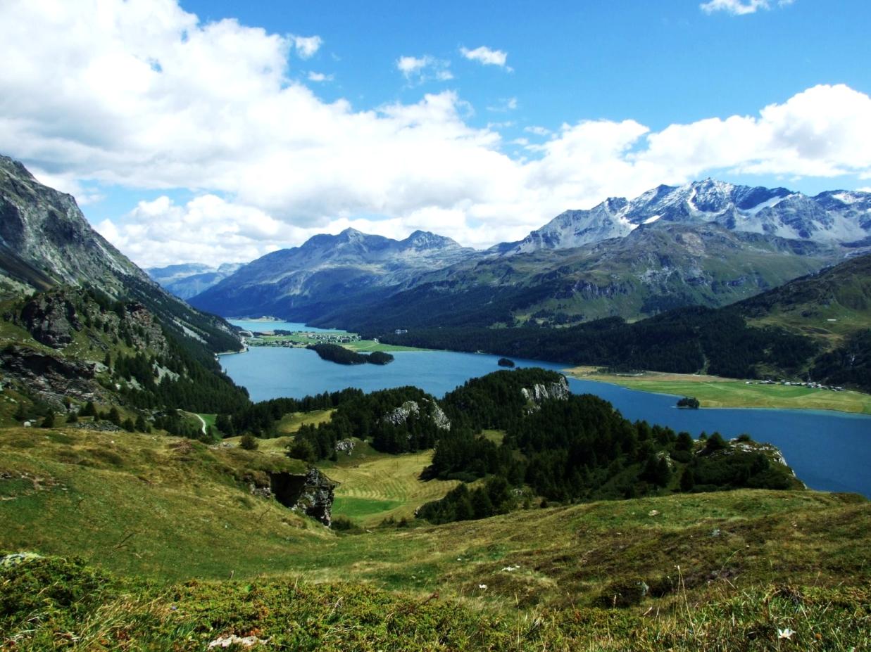
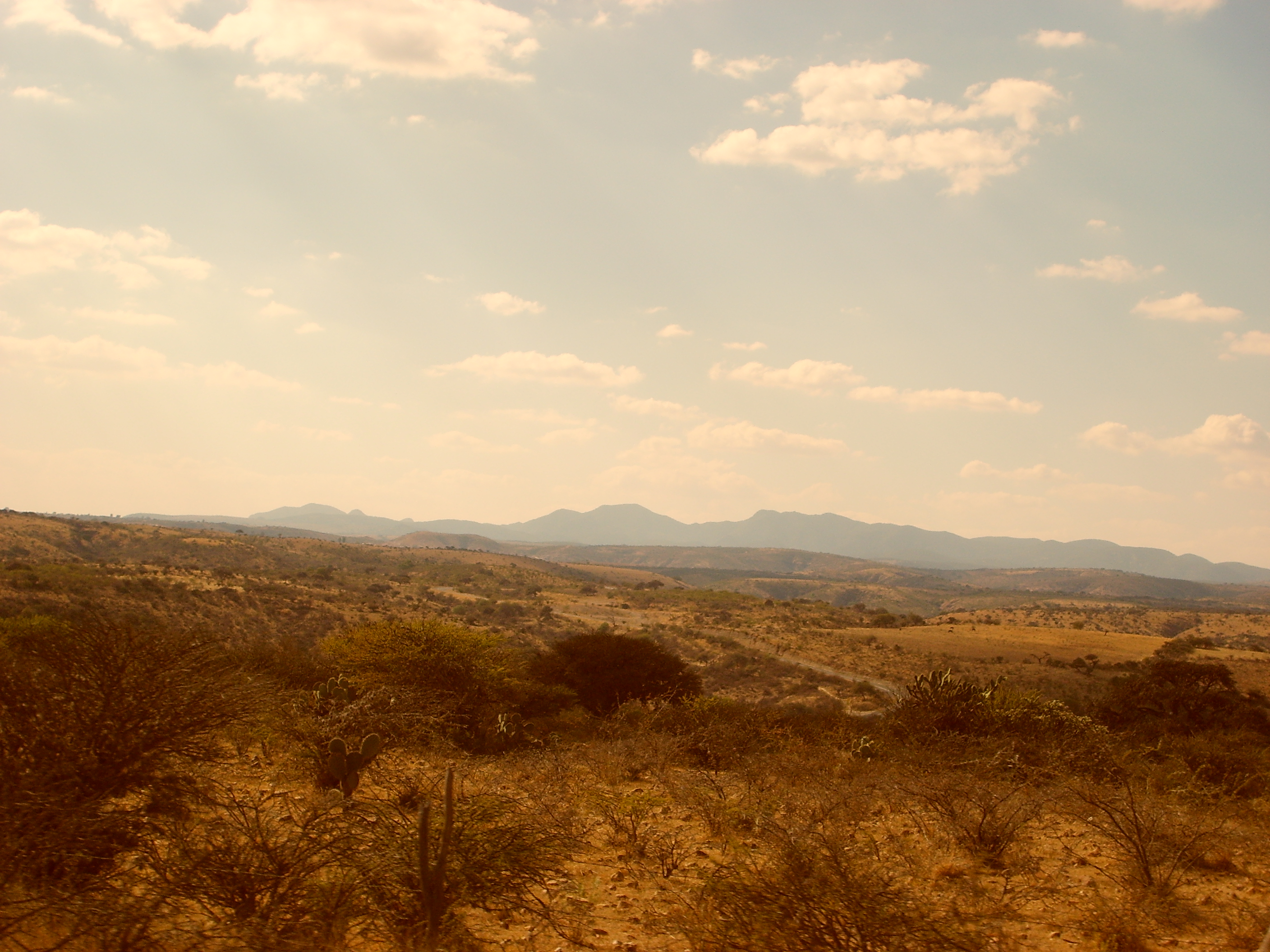
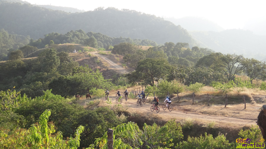
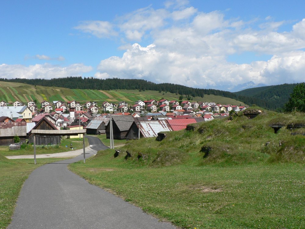
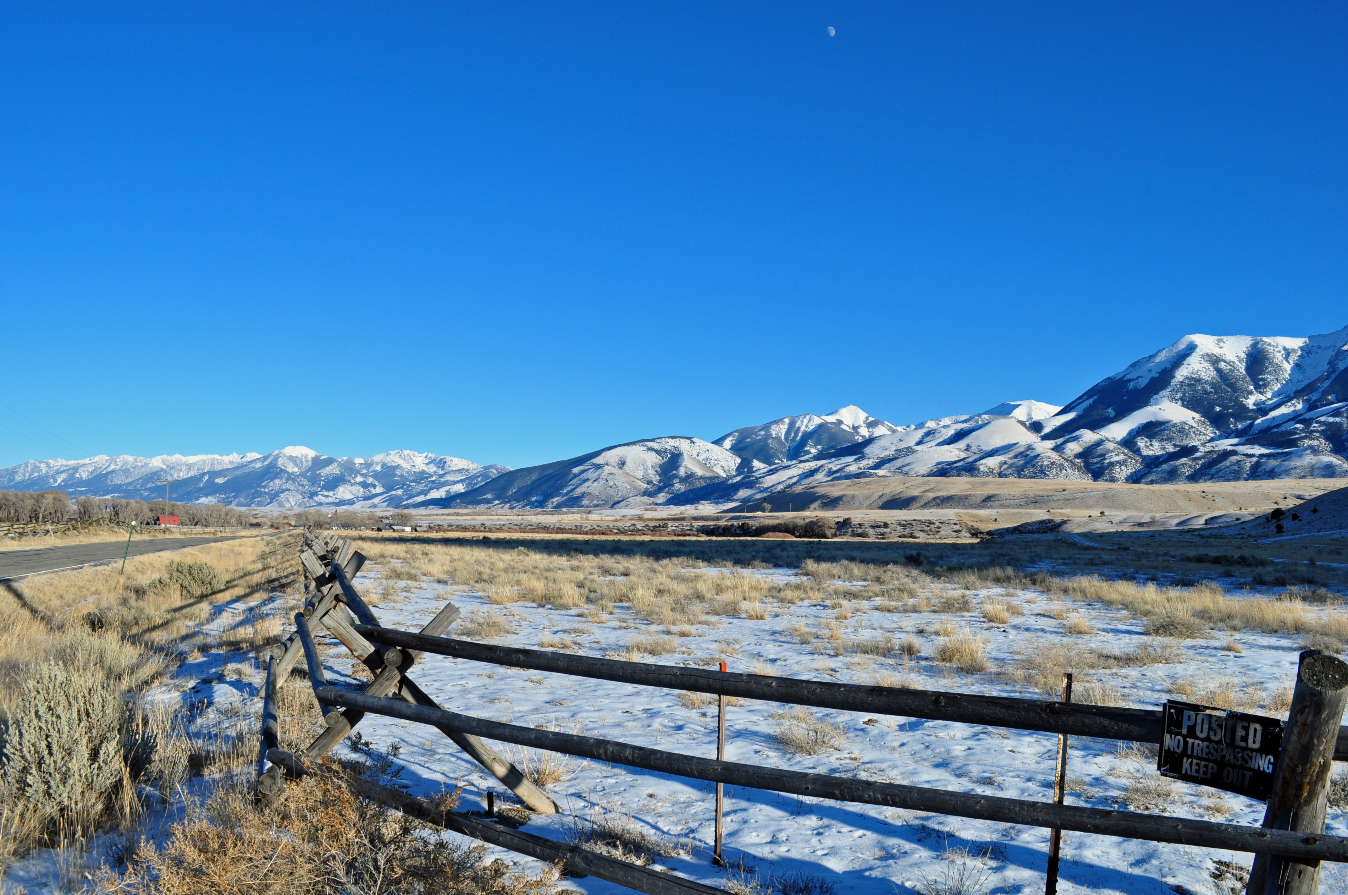
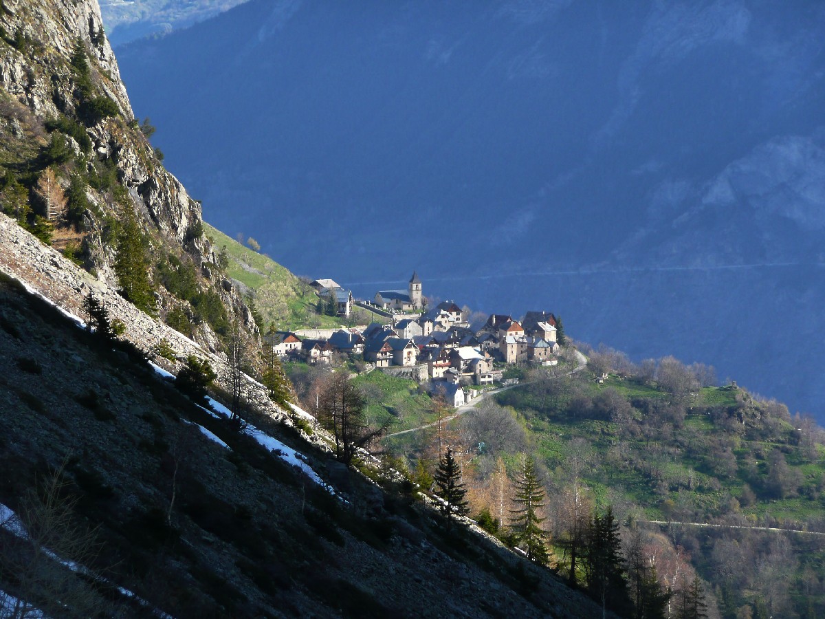
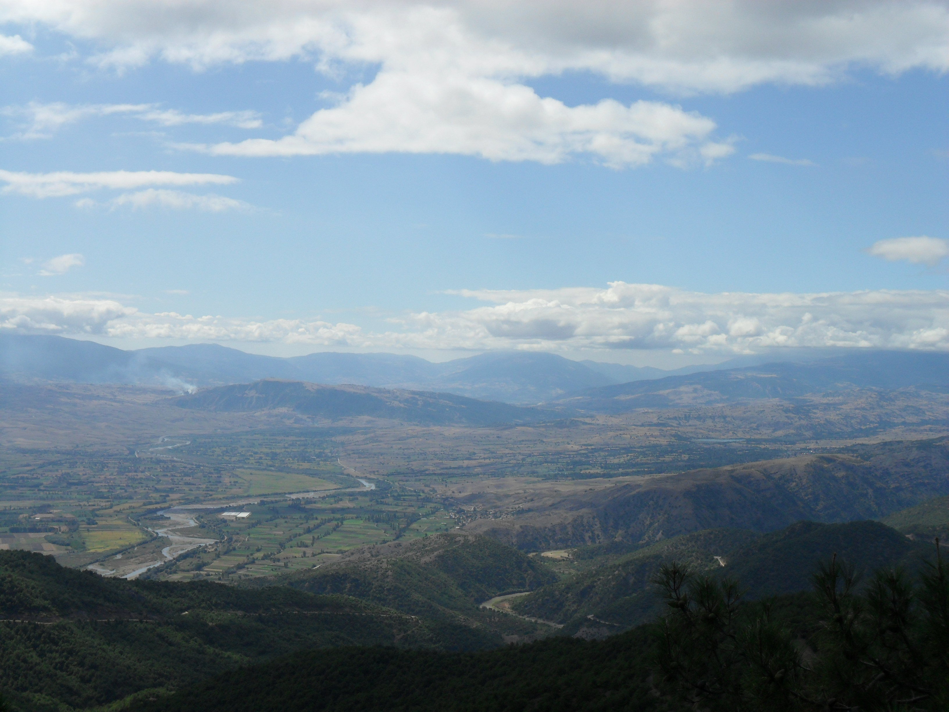
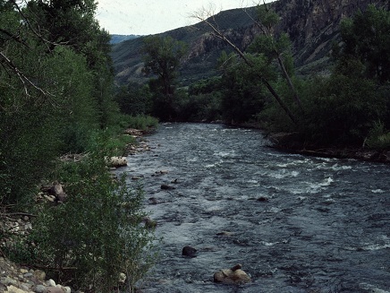
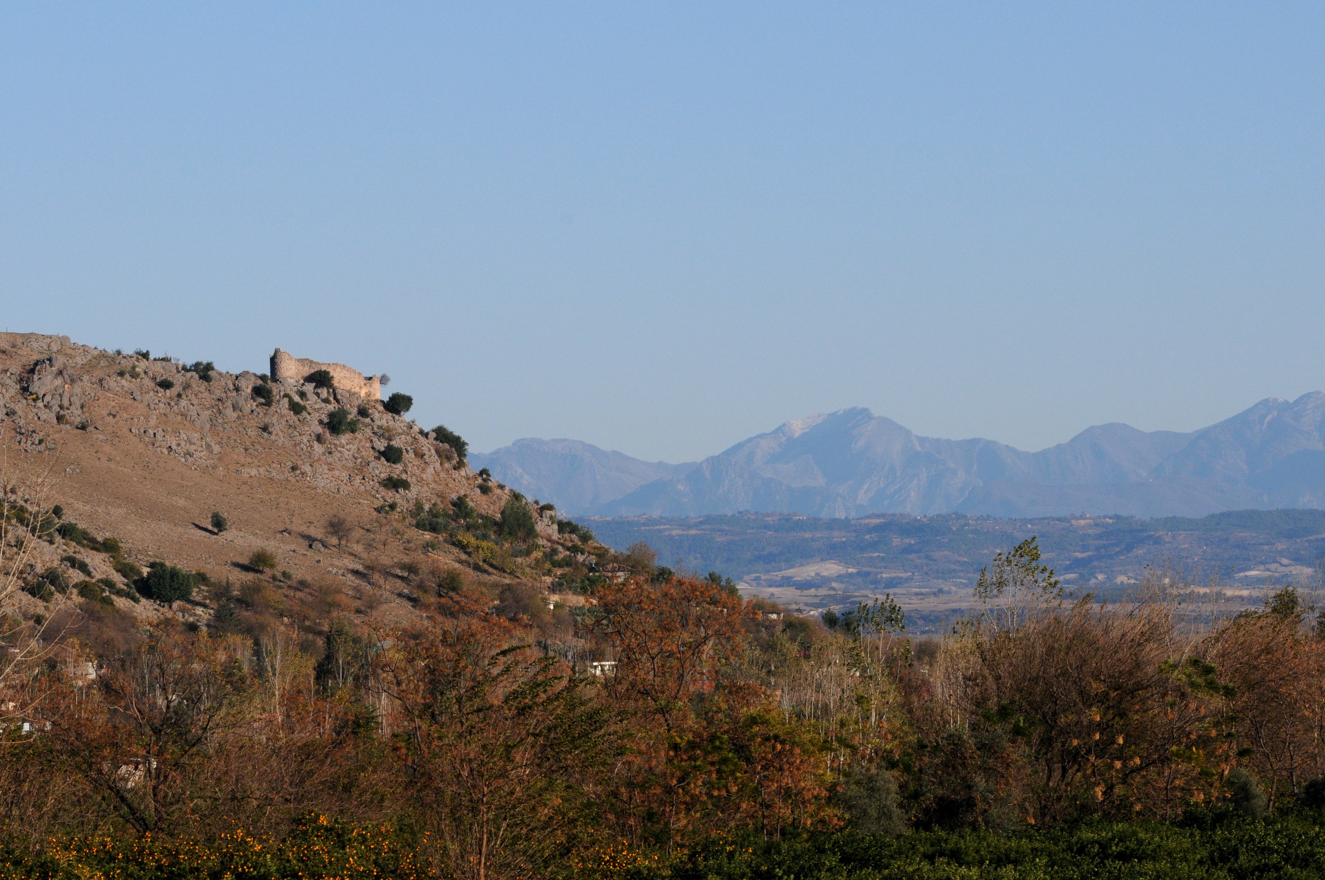
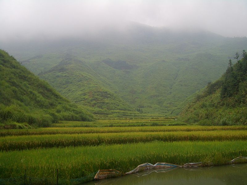
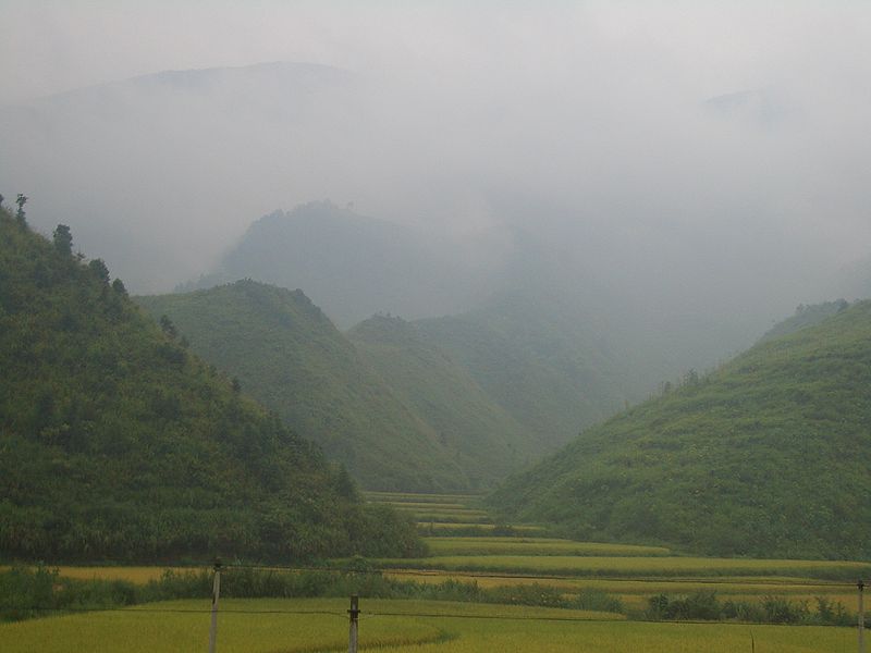
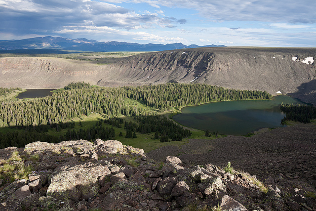
Tapestry of World Ecosystems: This story map introduces ecological land units and explores more than 100 places where diversity is highest.


How was this map created?

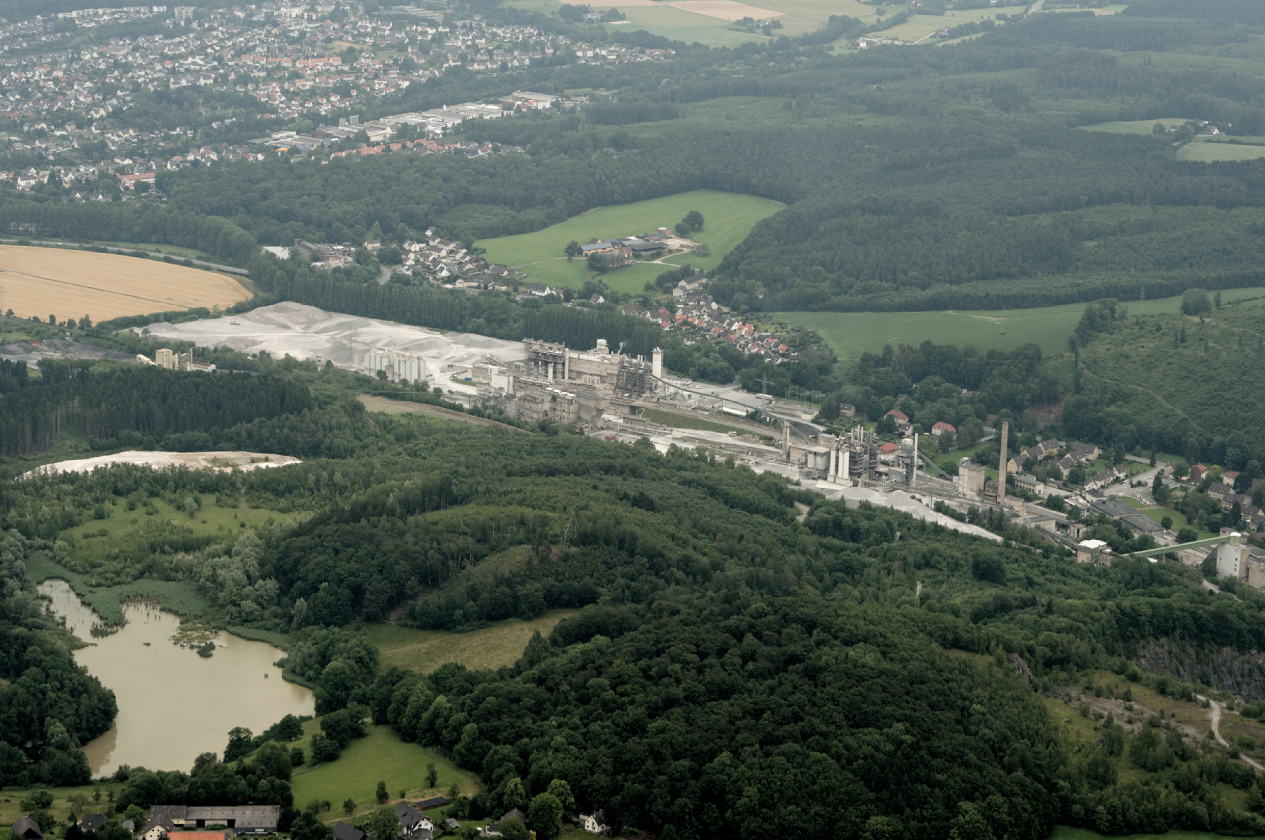
Randy Vaughan, Esri: The globe was divided in cells (Ecological Facets) at a base resolution of 250 meters. The Facets were then characterized (attributed) with four input layers that drive ecological processes: bioclimate, landform, lithology, and land cover parameters.  The layers chosen were the best available in terms of accuracy, currency, and global coverage.  The result was a global raster data layer with 47,650 unique combinations of the four input layers. The Facets were then aggregated into 3,923 ecological land units (ELUs).


Why was it created?

Roger Sayre: The Global ELU project goals are twofold.  The first goal is to provide, for the first time, a web-based, GIS-ready, global ecophysiographic data product for land managers, scientists, conservationists, developers, and the public to use for global, regional, and landscape analysis and accounting.

Second, the Global ELU map advances an objective, repeatable big data approach to the synthesis and classification of ecologically important data layers into distinctive and meaningful geo-referenced land units.


Can you give me some examples of what people might do with this data?

Randy Vaughan: The ELUs and other potential ecological facet aggregations provide an accounting framework to assess ecosystem services, such as carbon storage and soil formation, as well as risks such as environmental degradation.

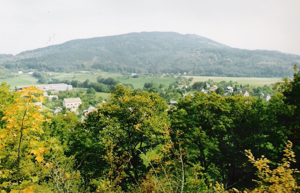
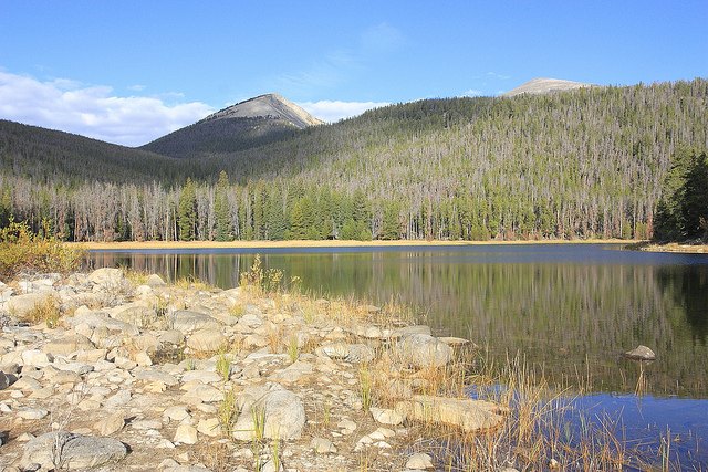
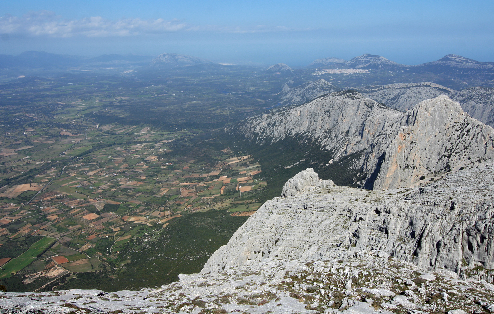
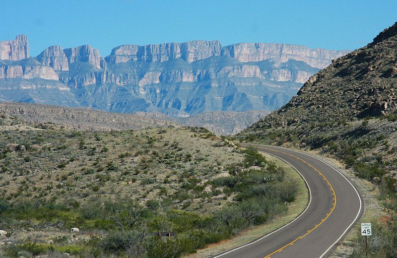
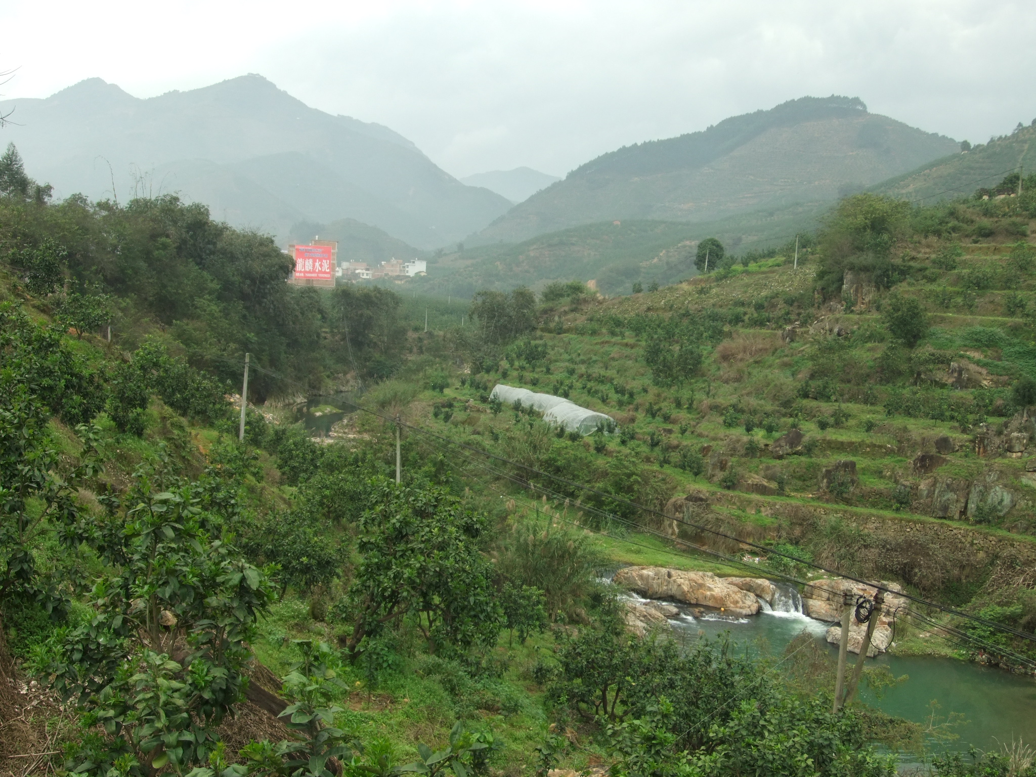
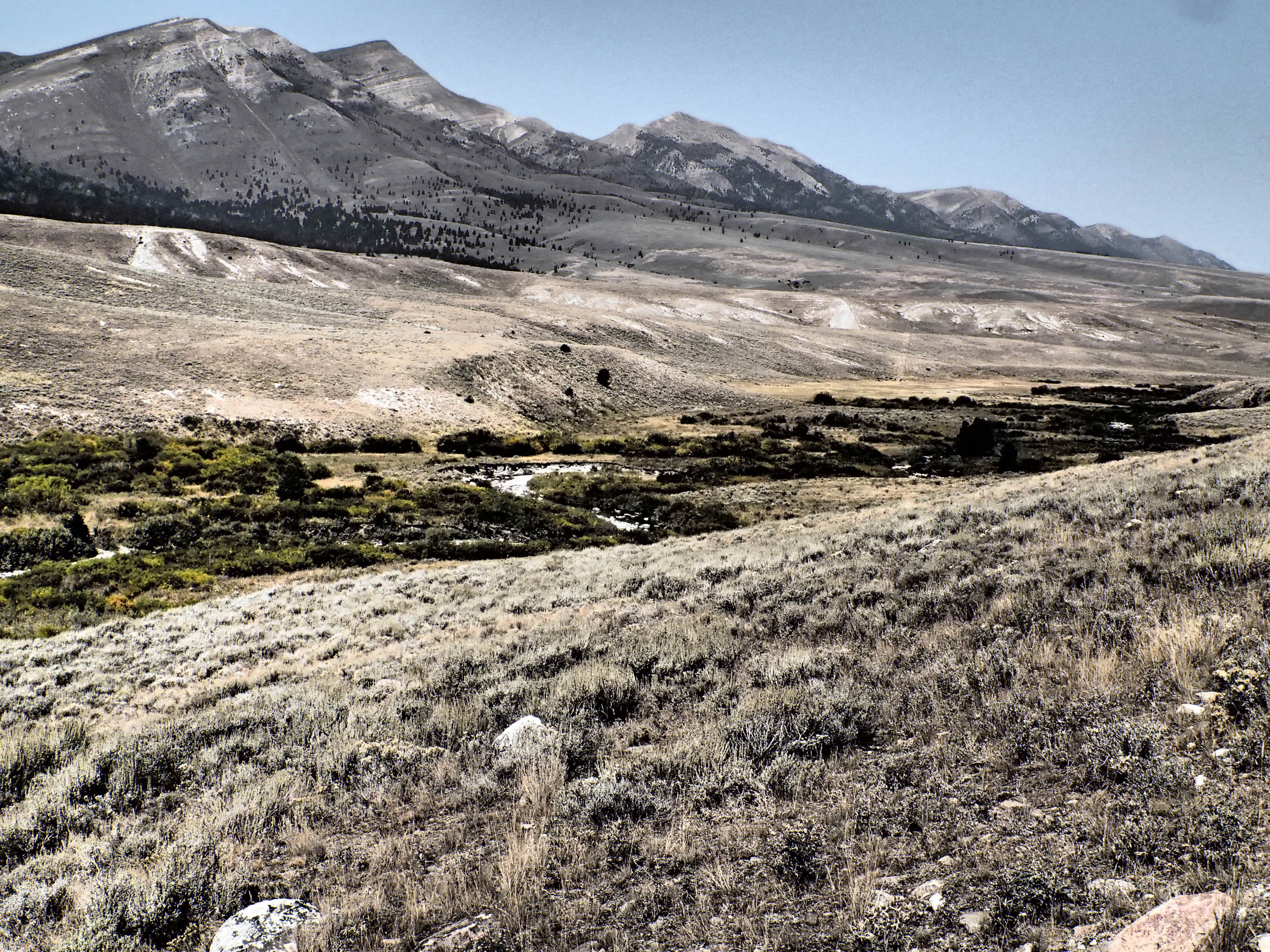
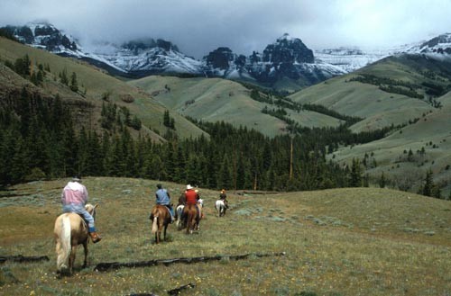
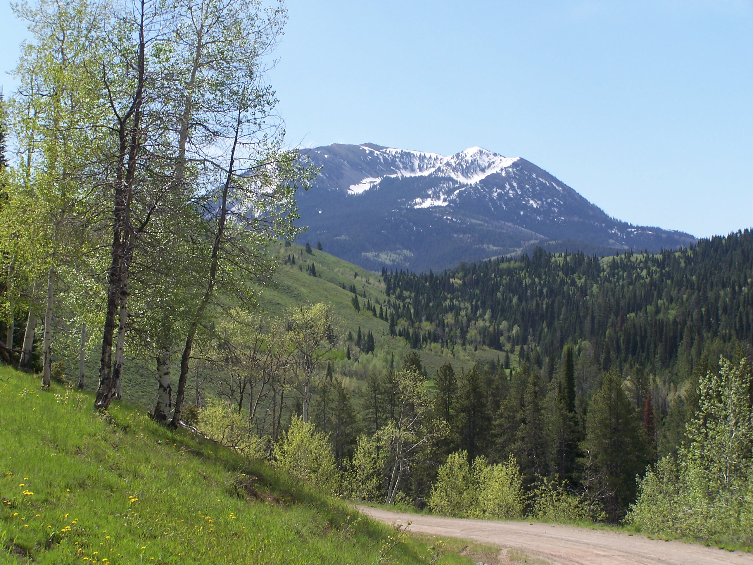
The ELUs also lend themselves to the study of ecological diversity, rarity, and evolutionary isolation.  For example we can identify whether the most diverse landscapes in terms of proximity to the most unique ELUs are protected. Understanding diversity can point the way to conservation and preservation planning.

Roger Sayre: While ELUs do not definitively characterize ecosystems at multiple scales, they do provide information and pointers to the ecological patterns of the globe.  They will be useful for constructing research agendas and for understanding global processes such as climate change. For example, the data will be important to the study of environmental change.  The automated approach to the objective classification of ELUs means that the mapping can be updated as better or more current input layers become available.

Agro-ecological zoning is based on the synthesis of land feature information, climate, and crop characteristics.  The Global ELUs data will support the analysis and formulation of agro-ecological zoning by providing a standard foundation or starting point for zonation.


Are there future plans for the Global Ecological Land Units map?

Roger Sayre: There are known and expected deficiencies in the current input layers given the difficulty of mapping any phenomenon at the global level.  The objective of the USGS and Esri is that the underlying data layers will be improved and updated.  Users of the ELU data may help by documenting deficiencies in the current layers and suggesting improvements to the data structures to facilitate synthesis and analysis.  The Global ELU team will seek collaborators to improve the data and will continue its own program of data improvement. For example the release of the new SRTM 30 meter elevation terrain data provides an opportunity create a higher resolution landforms map.

Randy Vaughan: The approach used to aggregate and classify data may also be used for other endeavors such as human geography.  We are in the early stages of investigating what combinations of human and cultural data might be usefully combined. We note that the data production is more than just a land unit classification; all of the underlying data is available on ArcGIS Online for GIS analysis.


How can people get access to the Global ELUs map?

  1. Introductory Story Map to the ecological land units: esriurl.com/elu
  2. Explore the online application: esriurl.com/EcoTapestry
  3. Learn more about ecological land units: www.aag.org/global_ecosystems
  4. Get started using this content in ArcGIS: ArcGIS Online Landscape Layers Group

Matt Artz

About Matt Artz

Matt Artz joined Esri in 1989. In his current role as GIS and Science Manager, he helps communicate the value of GIS as a tool for scientific research and understanding. He writes extensively about geospatial technologies, manages the GIS and Science blog, and is the editor of GIS.com. Prior to joining Esri he worked as an Environmental Scientist at a large science and engineering consulting company, on such diverse projects as highway noise modeling, archaeological impact assessment, and chemical weapons disposal. His educational background includes an M.S. degree in Environmental Policy and Planning and a B.S. degree in Anthropology and Geography.
This entry was posted in Uncategorized. Bookmark the permalink.

Leave a Reply

You must be logged in to post a comment.

4 Comments

adcimapguy says:

is there anyway to download this dataset as a global raster from the USGS?

December 9, 2014 at 10:35 am
cderolph says:

http://rmgsc.cr.usgs.gov/outgoing/ecosystems/Global/

December 11, 2014 at 8:32 am
Log in to Reply


http://rmgsc.cr.usgs.gov/outgoing/ecosystems/Global/

Geosciences and Environmental Change Science Center (GECSC) Outgoing Datasets

      Name                           Last modified      Size  
Parent Directory - Global_Ecophysiography.tif.zip 2014-11-07 12:53 2.4G Global_Ecophysiography.xml 2014-12-05 13:51 30K

Accessibility FOIA Privacy Policies and Notices

Take Pride in America logo USA.gov logo U.S. Department of the Interior | U.S. Geological Survey
URL: http://rmgsc.cr.usgs.gov/outgoing/ecosystems/Global/
Page Contact Information: Website Manager
Page Last Modified: Wednesday, 09-Jan-2013 13:58:50 Mountain Standard Time


 http://story.maps.arcgis.com/apps/MapJournal/index.html?appid=dc91db9f6409462b887ebb1695b9c201&webmap=dd6f7f93d54341a69a47002696cf5744


A story map

Explore a Tapestry of World Ecosystems
The United States Geological Survey has published a new global ecosystems map of unprecedented detail.

The map was produced by a team led by Roger Sayre, Ph.D., Senior Scientist for Ecosystems at the USGS Land Change Science Program. It is a mosaic of almost 4,000 unique ecological areas called Ecological Land Units (ELUs) based on four factors that are key in determining the makeup of ecosystems. Three of these—bioclimate, landforms, and rock type—are physical phenomena that drive the formation of soils and the distribution of vegetation. The fourth, land cover, is the vegetation that is found in a location as a response to the physical factors. You can read more about the research in this blog post.


This Story Map Journal has two main features, an ecosystems browser and an ecosystem tour.


In the ecosystem browser, opposite, point and click at any location on the map and the name of that ecosystem appears in a pop-up box. In general, tans are deserts, yellows and light greens are savannas, darker greens are forests, mountainous regions have texture, reddish is warm and bluish is cold. The browser includes pan and zoom functions.


The ecosystem tour starts on the next page of this map journal. It features places on Earth where the diversity of Ecological Facets (EFs), the building blocks of ELUs, is highly concentrated in an area. The world is divided up into 3.5 billion cells, each one 250 meters on a side, and each of these cells represents one of 47,500 types of EFs. The areas described in the following pages are all locations with relatively high numbers of EFs. While these are areas of high ecological landscape diversity, they are not necessarily areas of high biodiversity. Many EFs have naturally low species diversity, or have been heavily modified by human activity. The areas in the ecosystem tour below include many interesting and beautiful locations that are widely scattered across our hugely diverse planet.


Click on the map at left to see the Ecological Land Unit at that location. Pan and zoom for detail. Scroll down to take a tour of areas with high ecological landscape diversity.


Sweetwater Mountains CALIFORNIA, UNITED STATES


• Click on underlined titles below to view thematic maps.


Bioclimate: Cold Moist

Landform: Low Mountains

Rock Type: Basic Plutonics

Land Cover: Closed Needleleaved Evergreen Forest

Return to Ecological Land Unit map


This small area of Mack Canyon in the Sweetwater Mountains, California, ranges in climate from very cold wet to cold semi-dry. Mean annual precipitation in the Sweetwater Mountains ranges widely, from 10 to 30 inches. Geology is also diverse in the Sweetwater Mountains, it largely consists of a pluton surrounded by igneous flow from the Little Walker Caldera. Vascular plants are in transition between the Sierra Nevada and Great Basin floras, numbering more than 1,100 taxa. The Mack Canyon area is 30% evergreen forest, which may consist of Curlleaf mountain-mahogany, Jeffrey pine, Limber pine, Pinyon and Juniper. The remainder of the area are made up by mosaics of different quantity combinations of forest, shrubland, broadleaved forest, and herbaceous vegetation.


Hüsamlar TURKEY


Bioclimate: Hot Wet

Landform: Hills

Rock Type: Siliclastic Sedimentary Rock

Land Cover: Mosaic Cropland/Vegetation

Return to Ecological Land Unit map


This area around the village of Hüsamlar is cultivated, forested, and surface mined. It has a hot, wet, mediterranean climate with a few frost days, wet winters, and dry summers. It's mostly mosaic cropland, but with some broadleaved deciduous forest. These are siliciclastic sedimentary rock hills covered by leptosols, a weakly developed shallow soil.


Barbreck River SCOTLAND, UNITED KINGDOM


Bioclimate: Cool Very Wet

Landform: Breaks/Foothills

Rock Type: Acid Plutonics

Land Cover: Closed to Open Herbaceous Vegetation

Return to Ecological Land Unit map


This area along the Barbreck River has a cool to cold, very wet, marine west coast climate. This is an area of hills and low mountains. The parent rock for this area is a complex mixture, predominantly acid plutonics but with significant areas of basic volcanics, metamorphics, and sedimentary rock, including sedimentary rock made up of carbonates. This is a mosaic mainly of grassland and forest, but with some areas of cropland.


Praporište CZECH REPUBLIC

Bioclimate: Cool Wet

Landform: Low Hills

Rock Type: Basic Plutonics

Land Cover: Mosaic Grassland Forest or Shrubland

Return to Ecological Land Unit map


This area of hills and plains, a valley which includes part of the village of Prapořiště, lies in the highlands by the Všeruby mountain pass, the main pass in the mountains separating Bavaria and Bohemia. The site is on the divide for streams draining into either the Elbe or Danube river systems. The valley has a cool wet climate, and is geologically diverse. Basic plutonics are the most common rocks, but these make up only 16% of the area. Also found are metamorphics, other plutonics, and sedimentary rocks. Mosaic grassland and forest is the most common land cover. The second most common land cover is a mosaic of cropland and forest. There are some patches in this area that are exclusively forest and exclusively cropland.


Bishop Creek CALIFORNIA, UNITED STATES


Bioclimate: Very Cold Moist

Landform: Low Mountains

Rock Type: Metamorphics

Land Cover: Mosaic Forest or Shrubland/Grassland

Return to Ecological Land Unit map


Lamarck Creek and Bishop Creek meet in this area of the steeply elevated Eastern Sierra Nevada. A very cold moist climate predominates, but there is also a large area of cold moist climate. A small portion of this area has a cold and semi-dry climate. The Bishop Creek area includes two ridges of low mountains with a lake and hilly terrain between them. These landforms are predominantly metamorphic rock with acid plutonics and some areas of unconsolidated sediment. The area is patched with pines, aspen, shrubs, and areas of bare rock with lichens.


Susúa and Guánica Forest PUERTO RICO UNITED STATES


Bioclimate: Very Hot Moist

Landform: Low Hills

Rock Type: Unconsolidated Sediment

Land Cover: Mosaic Forest or Shrubland/Grassland

Return to Ecological Land Unit map


This area near Yauco, Puerto Rico, in the rain shadow of the Cordillera Central, is an area of transitions. To the south is the Guánica State Forest, the best remaining example of dry tropical forest in the Caribbean. To the north is the Susúa State Forest, a forest on the area of transition between dry forest and rainforest, with some  volcanic and some serpentine soils, and unique species. This area between the forests has a very hot climate with moisture varying greatly, with both semi-dry and wet areas. Hills and low hills of unconsolidated sediment predominate. Herbaceous vegetation and mosaic forest with herbaceous vegetation is the most common land cover here. The wide moisture range in this spot has created a diverse mosaic of grasslands, cropland, shrubland and forest.


Sur SWITZERLAND


Bioclimate: Very Cold Very Wet

Landform: Low Mountains

Rock Type: Basic Volcanics

Land Cover: Mosaic Cropland / Vegetation

Return to Ecological Land Unit map


The village of Sur, Switzerland, has a cold very wet to very cold very wet tundra climate. The area is predominantly low mountains, with areas of hills or foothills and breaks. About half the area is a mosaic of mostly cropland with vegetation, with significant areas that are exclusively evergreen forest. Rock types are diverse, basic volcanics are 33% of the area, with some metamorphic, unconsolidated sedimentary and mixed sedimentary rock. Soils are often leptosols, shallow and weakly developed.


Gardiner MONTANA, UNITED STATES


Bioclimate: Cold Moist

Landform: Hills

Rock Type: Unconsolidated Sediment

Land Cover: Mosaic Vegetation / Cropland

Return to Ecological Land Unit map


This place just up the hillside from Gardiner, Montana has a wide range of climates. The most likely climate encountered here is cold and moist (37%), but there are areas of cool moist, cold semi-dry, cool semi-dry and cold wet climates as well. These are hills and foothills comprised mostly of unconsolidated sediment, with some metamorphics. Land cover is a mosaic of forest with shrubland and grassland, with some areas of both broadleaved and needleleaved boreal moist forest.


Provo River UTAH, UNITED STATES


Bioclimate: Cool Semi-Dry

Landform: Low Hills

Rock Type: Unconsolidated Sediment

Land Cover: Closed to Open Herbaceous Vegetation

Return to Ecological Land Unit map


This area is located in Pine Valley on the upper Provo River in the Uinta National Forest. It is a cool climate with semi-dry and moist areas. Most of it is hills and low hills, with some areas of plains on the valley floor. It is mostly herbaceous vegetation such as grasslands and mostly unconsolidated sediment with some carbonates.


Waimea River HAWAII UNITED STATES


Bioclimate: Hot Wet

Landform: Hills

Rock Type: Pyroclastics

Land Cover: Mosaic Vegetation

Return to Ecological Land Unit map


This portion of the Waimea River of Hawaii has a very hot and moist tropical climate, with no dry season. It consists of breaks and foothills in an area of scattered volcanics and unconsolidated sediment. The land cover is mostly closed, broadleaved deciduous forest.


Sils SWITZERLAND


Bioclimate: Very Cold Very Wet

Landform: Low Mountains

Rock Type: Unconsolidated Sediment

Land Cover: Closed Broadleaved Deciduous Forest

Return to Ecological Land Unit map


Sils is a small town in Graubunden, Switzerland. Climate in the Sils area is considered subarctic, ranging from cold and very wet to very cold and very wet. This is an area of flat plains between two lakes. Low mountains make up 35% of the area, but there are areas of hills, foothills, plains, and high mountains. The lithology is also diverse, unconsolidated sedimentary rock is the plurality, with significant areas of acid and basic plutonics, and sedimentary carbonates. Much of the area is deciduous forest with mosaics of cropland and grassland mixed with forest.


Dolores Hidalgo MEXICO


Bioclimate: Warm Semi-Dry

Landform: Hills

Rock Type: Pyroclastics

Land Cover: Closed to Semi-Open Shrubland

Return to Ecological Land Unit map


This area near the highway between Dolores Hidalgo and Guanajuato is mostly warm and semi-dry, consisting of hills, breaks, and foothills. It’s primarily pyroclastics, luvic phaeozem soils, with closed to open areas of shrubland.


Ixtapan del Oro MEXICO


Bioclimate: Hot Moist

Landform: Low Mountains

Rock Type: Acid Plutonics

Land Cover: Closed to Open Herbaceous Vegetation

Return to Ecological Land Unit map


This site lies in the hills above the town of Ixtapan del Oro, Mexico State. The predominant climate ranges from hot moist to hot wet, but there are some warm wet and warm moist climate areas as well. The landscape is low mountains with some foothills of very diverse rock. Acid plutonics predominate, with andosol soils, but there are significant areas of intermediate volcanic and siliciclastic sedimentary rock, and a few small areas of acid volcanic and basic volcanic rock. The most common land cover encountered here is herbaceous vegetation or savanna, but there are significant areas of closed broadleaf forest, mixed forest, and mosaic forest with cropland. There are also some small areas of coniferous forest.


Taku BRITISH COLUMBIA, CANADA


Bioclimate: Cold Very Wet

Landform: Flat Plains

Rock Type: Intermediate Volcanics

Land Cover: Water Body

Return to Ecological Land Unit map


Taku is an area, mostly flat plains, the majority of which is water and bodies of water. The rest of the area is itself cold and very wet. This place is sparsely vegetated, with small areas of grassland mosaic and forest atop intermediate volcanic rock.


Marsberg GERMANY


Bioclimate: Warm Semi-Dry

Landform: Breaks/Foothills, Low Hills

Rock Type: Pyroclastics

Land Cover: Closed to Open Herbaceous Vegetation

Return to Ecological Land Unit map


This area near Marsberg, in Sauerland, Germany, includes and surrounds the small city of Marsberg. The area is dominated by a mainly cool and wet climate. 4/5 of the area is hills and 1/5 is plains, all on sedimentary rock. The area is a mosaic of deciduous forest on the steep slopes, and cropland on the flat areas above the town. A large portion of the land cover is the town of Marsberg itself (artificial surfaces).


Oberrödinghausen GERMANY


Bioclimate: Cool Wet

Landform: Hills

Rock Type: Carbonate Sedimentary Rock

Land Cover: Closed Broadleaved Deciduous Forest

Return to Ecological Land Unit map


The Oberrödinghausen area, in Sauerland, Germany, has a landscape of low and medium size hills, and a cool wet climate. Almost all of these hills are sedimentary rock, the vast majority (83%) is sedimentary carbonates. Most of the area is forest, primarily deciduous but with some conifers. Mixed in with the forest are patches of rainfed croplands.


Vltava-Sázava Confluence CZECH REPUBLIC


Bioclimate: Cool Wet

Landform: Smooth Plains

Rock Type: Acid Volcanic

Land Cover: Mosaic Cropland/Vegetation

Return to Ecological Land Unit map


This area near the confluence of the Vltava and Sázava Rivers, in the Czech Republic, is predominantly a cool wet climate. It is an area of smooth plains and hills, a mixture of acid volcanic, siliciclastic sedimentary, and unconsolidated sedimentary rock, with some metamorphic rock. It is a mosaic dominated by cropland and broadleaf forest, with small areas of grasslands and needleleaf forest.


Jackson Hole WYOMING, UNITED STATES


Bioclimate: Cool Wet

Landform: Smooth Plains

Rock Type: Acid Volcanic

Land Cover: Mosaic Cropland/Vegetation

Return to Ecological Land Unit map


This portion of Jackson Hole, Wyoming, has a climate ranging from cool semi-dry to cold and moist. Surface landforms are generally hilly, consisting of foothills with some low hills and flat plains. The area is predominantly closed deciduous forest with some grasslands, upon unconsolidated sediment.


Latour-de-Carol SPAIN


Bioclimate: Cold Wet

Landform: Hills

Rock Type: Metamorphic

Land Cover: Rainfed Croplands

Return to Ecological Land Unit map


This area of the Pyrenees above the border town of Latour-de-Carol has almost equal parts three climates: cold wet, cold very wet, and cool wet. It is an area of mostly hills, foothills and low hills, primarily metamorphic rock but with a lot of unconsolidated sediment. The majority of the area is rainfed cropland, with some areas of mosaic cropland with vegetation.


Almoloya MEXICO


Bioclimate: Warm Semi-Dry

Landform: Breaks/Foothills, Low Hills

Rock Type: Pyroclastics

Land Cover: Closed to Open Herbaceous Vegetation

Return to Ecological Land Unit map


This area around Almoloya, Hidalgo, Mexico is warm and semi-dry, with low hills. The land cover is predominantly herbaceous vegetation, with areas of mosaic of forest and grassland/cropland. Lithology is predominantly pyroclastics with volcanic (andosol) soils.


Ust' Bokson SIBERIA, RUSSIA


Bioclimate: Very Cold Wet

Landform: Hills

Rock Type: Metamorphics

Land Cover: Mosaic Grassland/Forest or Shrubland

Return to Ecological Land Unit map


Ust' Bokson is a very cold, moist to wet area in the Buryat Republic, Siberia. It is a hilly area, made up of a mixture of metamorphics, basic plutonics, and siliciclastic sedimentary rock. This area is a mosaic of herbaceous vegetation with some forest.


Semily CZECH REPUBLIC


Bioclimate: Very Cold Wet

Landform: Hills

Rock Type: Metamorphics

Land Cover: Mosaic Grassland/Forest or Shrubland

Return to Ecological Land Unit map


In Semily District, in the Czech Republic, is this area of mostly smooth plains with a cool wet to cold wet climate. Half of the area is pure cropland, while the other half is a mosaic of cropland, forest, and grassland. Basic volcanics make up half the rock types, with metamorphics making up the most significant minority.


Tower Mountain MONTANA, UNITED STATES


Bioclimate: Very Cold Wet

Landform: Breaks/Foothills

Rock Type: Siliclastic Sedimentary

Land Cover: Sparse Vegetation

Return to Ecological Land Unit map


This area on Tower Mountain, Montana has a very cold wet climate. It consists mostly of breaks and foothills with some low mountains. The area is sparsely vegetated. Rock is sedimentary, mostly siliciclastic sedimentary (65%) with 29% carbonates.


Bruncu Nieddu SARDINIA, ITALY


Bioclimate: Warm Wet

Landform: Low Mountains

Rock Type: Carbonate Sedimentary Rock

Land Cover: Mosaic Cropland/Vegetation

Return to Ecological Land Unit map


This area of Supramonte, Sardinia has a warm wet climate. Most of the area is low mountains with some steep faces. 4/5 of the area is carbonate sedimentary rock, with some other sedimentary rock and traces of basic volcanics. Landcover is mostly a mosaic of cropland and natural vegetation, consisting of grassland, shrubland or forest. 


Riu su Luda SARDINIA ITALY


Bioclimate: Warm Moist

Landform: Breaks/Foothills

Rock Type: Carbonate Sedimentary Rock

Land Cover: Closed to Open Shrubland

Return to Ecological Land Unit map


This area of breaks and hills north of Perdasdefogu, Sardinia, lies in a warm moist climate. Rock is predominantly carbonate sedimentary but in this area there are also generous amounts of siliciclastic sedimentary, acid volcanic, and mixed sedimentary rock. Shrubland predominates, but there are also significant areas of mosaic croplands, coniferous forest, and sparse vegetation.


Šútovo SLOVAKIA


Bioclimate: Cool Wet

Landform: Low Hills

Rock Type: Carbonate Sedimentary Rock

Land Cover: Mosaic Cropland/Vegetation

Return to Ecological Land Unit map


The Šútovo, Slovakia area is an area of hills or low hills with a cool wet climate. About half of the area is forest. Needleleaf forest is slightly more common here than broadleaf deciduous forest. The most likely land cover is actually a mosaic of cropland with forest. It's an area of sedimentary rock, over 50% of it carbonates.


Hespecke GERMANY


Bioclimate: Cold Very Wet

Landform: Smooth Plains

Rock Type: Carbonate Sedimentary Rock

Land Cover: Closed to Open Herbaceous Vegetation

Return to Ecological Land Unit map


The area around the village of Hespecke, in Sauerland, Germany, is a landscape of plains and low hills with a cold, very wet climate. On carbonate sedimentary rock, patches of broadleaved, deciduous forest and grassland are most common. There are also a few significant mosaics of natural vegetation mixed with croplands.


Tossal de Monteró SPAIN


Bioclimate: Warm Moist

Landform: Breaks/Foothills

Rock Type: Unconsolidated Sediment

Land Cover: Closed to Open Shrubland

Return to Ecological Land Unit map


This area near Tossal de Monteró in Catalunya, Spain, is an area of foothills and low mountains, in a predominantly warm moist climate. Most of the rock beneath this area is unconsolidated sediment. Closed to open broadleaved or evergreen forest dominates the landscape.


Zamora SPAIN


Bioclimate: Warm Semi-Dry

Landform: Low Hills

Rock Type: Unconsolidated Sediments

Land Cover: Mosaic Cropland/Vegetation

Return to Ecological Land Unit map


This area on the banks of the Doero River in Zamora Province, Spain, has a climate ranging from warm semi-dry to cool semi-dry. It is about 2/3 low hills and 1/3 smooth plains, almost all of it unconsolidated sediment. Together, cropland and a mosaic of cropland and vegetation dominate the region.


Hassa TURKEY


Bioclimate: Warm Wet

Landform: Low Hills

Rock Type: Basic Plutonics

Land Cover: Mosaic Vegetation

Return to Ecological Land Unit map


Hassa is an area in Turkey, mostly low hills, that is dominated by basic plutonics. This place is mostly mosaic vegetation, with small areas of cropland.


Laveno-Mombello ITALY


Bioclimate: Cool Very Wet

Landform: Low Hills

Rock Type: Carbonate Sedimentary Rock

Land Cover: Mosaic Cropland/Vegetation

Return to Ecological Land Unit map


This area of low hills, made up of carbonate sedimentary rock, near Laveno-Mombello, Italy, has a cool and very wet climate. A cropland dominated mosaic mixed with vegetation makes up half the area, with another 30% of the area consisting of broadleaf, deciduous forest.


Sierra Del Carmen MEXICO


Bioclimate: Warm Semi-Dry

Landform: Breaks/Foothills

Rock Type: Siliclastic Sedimentary Rock

Land Cover: Mosaic Vegetation/Cropland

Return to Ecological Land Unit map


Most of the Sierra del Carmen area is warm and semi-dry, and dominated by breaks, foothills, and siliciclastic sedimentary rock. It consists of a mosaic of vegetation with some cropland.


Nansheng Shul CHINA

Bioclimate: Warm Very Wet

Landform: Breaks/Foothills

Rock Type: Siliclastic Sedimentary Rock

Land Cover: Closed to Open Shrubland

Return to Ecological Land Unit map


Nansheng Shui is largely warm and very wet, consisting mostly of breaks and foothills. Half of the lithology is siliciclastic sedimentary rock. Much of the land over is shrubland and mosaic vegetation.


Komati River Drakensberg SOUTH AFRICA


Bioclimate: Warm Moist

Landform: Breaks/Foothills

Rock Type: Basic Volcanics

Land Cover: Closed to Open Herbaceous Vegetation

Return to Ecological Land Unit map


Above the Komati River Gorge in the Drakensberg, South Africa, this area of breaks and hills has a warm moist climate. The vegetation here is closed to open savanna, with closed to open patches of shrubs and trees.


Fishtrap Creek BRITISH COLUMBIA, CANADA


Bioclimate: Cool Moist

Landform: Low Mountains

Rock Type: Basic Volcanics

Land Cover: Mosaic Grassland/Forest or Shrubland

Return to Ecological Land Unit map


This area of mountains in British Columbia has a cool and moist climate. 70% of the mountains are basic volcanics, with some acid plutonics mixed in. Vegetation found here is a mosaic of mostly grassland with some shrubs and forest, with some patches of sparse vegetation.


Chudenín CZECH REPUBLIC


Bioclimate: Cool, Wet

Landform: Smooth Plains

Rock Type: Acid Plutonics

Land Cover: Closed to Open Herbaceous Vegetation

Return to Ecological Land Unit map


The Chudenín area has a cool wet climate area of smooth or flat plains. It is mostly herbaceous vegetation with some mosaic grassland with forest or shrubland. The vast majority of the rock is acid plutonic with some metamorphics present.

Liptovská Teplička SLOVAKIA


Bioclimate: Cold Wet

Landform: Hills

Rock Type: Carbonate Sedimentary

Land Cover: Mosaic Vegetation/Cropland

Return to Ecological Land Unit map


This hilly area around the village of Liptovská Teplička ranges in climate from cold and wet to cold and very wet. About 70% of the area is a mosaic of natural vegetation and cropland, and 30% of it pure cropland. Rock beneath the area is all sedimentary, 61% of it carbonates.


Antelope Butte MONTANA, UNITED STATES


Bioclimate: Cool Moist

Landform: Hills

Rock Type: Unconsolidated Sediment

Land Cover: Closed Needleleaved Evergreen Forest

Return to Ecological Land Unit map


This area of Antelope Butte, in Park County, Montana, has a cool moist climate. It is hilly terrain, made up 50% by unconsolidated sediment, with some sedimentary rock and volcanics. Most of the area is needleleaved evergreen forest with a closed canopy.


Villard-Notre-Dame FRANCE


Bioclimate: Cool Wet

Landform: Flat Plains

Rock Type: Acid Plutonics

Land Cover: Closed Broadleaved Deciduous Forest 

Return to Ecological Land Unit map


By the village of Villard-Notre-Dame in France is this area with a cool wet climate. Terrain is quite diverse here, with landforms ranging from high mountains to flat plains. About half of the area is acid plutonics, and the other half is unconsolidated sediment.


Turhal TURKEY


Bioclimate: Warm Semi-Dry

Landform: Low Mountains

Rock Type: Unconsolidated Sediment

Land Cover: Closed to Open Shrubland

Return to Ecological Land Unit map


This area near Turhal, Turkey is a warm semi-dry climate zone. The landscape is diverse, primarily unconsolidated sediment with some metamorphics. Low mountains and smooth plains predominate, with some flat plains, hills, and foothills. Land cover is predominantly shrubland and rainfed croplands, with some evergreen forest.


Riu Sa Teula SARDINIA, ITALY


Bioclimate: Warm Semi-Dry

Landform: Smooth Plains

Rock Type: Acid Volcanic

Land Cover: Mosaic Cropland/Vegetation

Return to Ecological Land Unit map


This area, along the Riu Sa Teula in Sardinia, lies in a warm semi-dry climate. Rock is mostly acid volcanic with some sedimentary rock and acid plutonics. Most of the area is smooth plains with some low hills. About half of the area is sparsely vegetated, while the other half is a mosaic of cropland and natural vegetation.


Guaymas MEXICO


Bioclimate: Hot Semi-Dry

Landform: Low Hills

Rock Type: Basic Volcanics

Land Cover: Closed to Open Shrubland

Return to Ecological Land Unit map


Near Guaymas is this principally hot and semi-dry area, about 1/3 of which is low hills. All of the lithology is composed of basic volcanics. Most of the land cover is closed to open shrubland.


Vitipeno ITALY


Bioclimate: Cool Wet

Landform: Low Mountains

Rock Type: Unconsolidated Sediment

Land Cover: Closed to Open Mixed Broadleaved and Needleleaved Forest

Return to Ecological Land Unit map


This alpine slope near the town of Vipiteno, Italy, has a cool wet climate. These are low mountains made up of unconsolidated sediment. About half the area is closed deciduous forest, and the other half is closed to open mixed forest.


Beinn na Duatharach SCOTLAND, UNITED KINGDOM


Bioclimate: Cold Very Wet

Landform: Hills

Rock Type: Intermdiate Plutonics

Land Cover: Mosaic Vegetation/Cropland

Return to Ecological Land Unit map


Beinn na Duatharach is a cold, very wet, hilly area. The land use is mixed, upon intermediate plutonic rock. There is some cropland, but the land cover is mostly grassland, shrubland and forest.


Lourdes FRANCE


Bioclimate: Warm Wet

Landform: Flat Plains

Rock Type: Unconsolidated Sediment

Land Cover: Artificial Surfaces and Associated Areas

Return to Ecological Land Unit map


This part of the City of Lourdes, France, has a warm wet climate. It is unconsolidated sediment, mostly flat plains with some low hills. All of this area is urban and artificially surfaced.


Samak UTAH, UNITED STATES


Bioclimate: Cold Moist

Landform: Hills

Rock Type: Carbonate Sedimentary Rock

Land Cover: Closed to Open Herbaceous Vegetation

Return to Ecological Land Unit map


This spot, at the West end of the Uinta Mountains, has a cold moist climate. It is hilly terrain, made up of carbonate sedimentary rock. The area is covered by grassland and shrubs, with a few trees.


Duchesne River UTAH, UNITED STATES


Bioclimate: Cool Semi-Dry

Landform: Low Mountains

Rock Type: Mixed Sedimentary Rock

Land Cover: Closed Needleleaved Evergreen Forest 

Return to Ecological Land Unit map


Near Hanna, Utah is this area of low mountains overlooking the Duchesne River. This area is a combination of mixed sedimentary rock and unconsolidated sediments, covered by coniferous forest.


Bucak TURKEY


Bioclimate: Warm Semi-Dry

Landform: Low Mountains

Rock Type: Mixed Sedimentary Rock

Land Cover: Closed to Open Shrubland

Return to Ecological Land Unit map


This spot in the mixed sedimentary low mountains just north of the city of Bucak, Turkey has a warm semi-dry climate. It is covered by evergreen shrubs with some open areas of grassland.

Tongshan CHINA


Bioclimate: Warm Wet

Landform: Low Mountains

Rock Type: Mixed Sedimentary Rock

Land Cover: Closed to Open Shrubland

Return to Ecological Land Unit map


Tongshan consists of a hot wet climate dominated by low mountains, but also with some breaks and foothills. There is a significant amount of mixed sedimentary rock. Much of the land cover is shrubland.


Mufu Mountains CHINA


Bioclimate: Warm Very Wet

Landform: Low Mountains

Rock Type: Pyroclastics

Land Cover: Mosaic Cropland

Return to Ecological Land Unit map


The Mufu Mountains area is mostly very warm and wet and composed entirely of low mountains and pyroclastics. Half of the land cover is a mosaic of cropland with some vegetation.


San Pedro Juchatengo MEXICO


Bioclimate: Hot Moist

Landform: Low Mountains

Rock Type: Metamorphics

Land Cover: Closed to Open Herbaceous Vegetation

Return to Ecological Land Unit map


This area of metamorphic low mountains above the town of San Pedro Juchatengo, in Oaxaca, Mexico, has a hot moist climate. One will find that the most common vegetation here is herbaceous, followed by closed needleleaved forest.


Cerro Carapa VENEZUELA


Bioclimate: Very Hot Wet

Landform: Low Hills

Rock Type: Siliclastic Sedimentary Rock

Land Cover: Closed to Open Broadleaved Evergreen or Semi-Deciduous Forest

Return to Ecological Land Unit map


The Cerro Carapa area has a very hot wet tropical climate, with small areas of very hot moist and hot wet climates. It is mostly siliciclastic sedimentary low hills, located where the central plains of Venezuela, the Llanos, meet the foothills of the Ser

Puno PERU


Bioclimate: Cold Wet

Landform: Hills

Rock Type: Unconsolidated Sediment

Land Cover: Sparse Vegetation

Return to Ecological Land Unit map


High on the Altiplano, near Puno, Peru, lies this cold wet area of unconsolidated sediment hills. Vegetation is sparse here with some closed to open areas of shrubland.


Reelsen GERMANY


Bioclimate: Cold Wet

Landform: Low Hills

Rock Type: Mixed Sedimentary Rock

Land Cover: Mosaic Grassland/Forest or Shrubland

Return to Ecological Land Unit map


This site at the edge of the town of Reelsen, Germany has a cool wet climate. This area has low hills of mixed sedimentary rock, and is a land use mosaic combining urban low density use (buildings and back gardens with trees) with cropland.

Beshkiol Lake ALTAY REPUBLIC, RUSSIA


Bioclimate: Very Cold Wet

Landform: Breaks/Foothills

Rock Type: Acid Plutonics

Land Cover: Mosaic Vegetation (Grassland/Shrubland/Forest)/Cropland

Return to Ecological Land Unit map


Beshkiol Lake, in the Altay Republic, Russia, has two climate zones, cold moist and very cold wet. These are acid plutonics, mostly breaks and foothills with some hills. It is a mosaic of forest with areas of sparse vegetation.


Greenhorn Range MONTANA, UNITED STATES


Bioclimate: Cold Semi-Dry

Landform: Breaks/Foothills

Rock Type: Carbonate Sedimentary Rock

Land Cover: Closed to Open Herbaceous Vegetation

Return to Ecological Land Unit map


The Greenhorn Range near the Ruby River in Montana is an area of foothills with a cold semi-dry climate. Grasslands cover carbonate sedimentary rock. 


Greybull River WYOMING, UNITED STATES


Bioclimate: Cold Moist

Landform: Breaks/Foothills

Rock Type: Intermediate Volcanics

Land Cover: Mosaic Forest or Shrubland/Grassland

Return to Ecological Land Unit map


This area on the edge of the Shoshone National Forest, near the Greybull River, has a cold moist climate. It's an area of foothills and hills made up of about equal parts uncondolidated sediment, intermediate volcanics, and siliciclastic sedimentary rock. The land is covered with a mosaic of forest and shrubs with some grassland, with patches of needleleaved, closed evergreen forest.


Sulphur Canyon IDAHO, UNITED STATES


Bioclimate: Cold Semi-Dry

Landform: Low Mountains

Rock Type: Siliclastic Sedimentary Rock

Land Cover: Closed Needleleaved Evergreen Forest

Return to Ecological Land Unit map


Sulphur Canyon is west of Soda Springs, Idaho. The area is dominated by low mountains, and has a cold, semi-dry climate with some areas of cool semi-dry climate. It's nearly all siliciclastic sedimentary rock and closed coniferous forest, with some areas of broadleaf forest and grassland.


Alhama de Aragon SPAIN


Bioclimate: Cool Semi-Dry

Landform: Breaks/Foothills

Rock Type: Carbonate Sedimentary Rock

Land Cover: Closed to Open Shrubland

Return to Ecological Land Unit map


This area by the village of Alhama de Aragón has a cool semi-dry climate. It's mostly breaks and foothills with some hills. It is primarily shrubland with some needleleaved forest and grassland. 80% of the rock is carbonate sedimentary. 


Powderhorn COLORADO, UNITED STATES


Bioclimate: Cool Semi-Dry

Landform: Hills

Rock Type: Basic Volcanics

Land Cover: Closed to Open Herbaceous Vegetation

Return to Ecological Land Unit map


This area by Powderhorn, Colorado has a cool semi-dry climate, switching to cold in the highest elevations of the surrounding terrain. A vegetated floodplain of grassland becomes forested by the edge of the river, with some shrubs and trees in the bottom of gulches going up the side canyons. Rock types found here are basic volcanics, metamorphics, pyroclastics, and unconsolidated sediments.


Tierra Blanca NEW MEXICO, UNITED STATES

Bioclimate: Warm Wet

Landform: Hills

Rock Type: Mixed Sedimentary Rock

Land Cover: Mosaic Vegetation

Return to Ecological Land Unit map


Tierra Blanca is mostly hills with a warm wet climate. The area is exclusively mixed sedimentary rock, and the land is covered with mosaic vegetation with some cropland.


Chaozhou CHINA


Bioclimate: Hot Wet

Landform: Hills

Rock Type: Pyrpclastics

Land Cover: Mosaic Vegetation

Return to Ecological Land Unit map


This area by what is known as the Yingxifenglin Scenic Corridor is entirely hot and wet. Half of it is low hills. These are composed entirely of carbonate sedimentary rock, covered by a mosaic of mostly vegetation with some cropland.


Cerro la Presa MEXICO


Bioclimate: Hot Semi Dry

Landform: Breaks/Foothills

Rock Type: Unconsolidated Sediment

Land Cover: Closed Needleleaved Evergreen Forest

Return to Ecological Land Unit map


Cerro la Presa is a mostly hot, semi-dry region of breaks and foothills. Rock found here is carbonate and sedimentary. The land cover is mostly closed needleleaved evergreen forest.


Fairmilehead SCOTLAND, UNITED KINGDOM


Bioclimate: Cold Very Wet

Landform: Smooth Plains

Rock Type: Acid Volcanic

Land Cover: Mosaic Forest or Shrubland/Grassland

Return to Ecological Land Unit map


Fairmilehead is a neighborhood in Scotland's capital, Edinburgh. This is an area with a cold very wet climate. Landforms here are smooth plains made up of acid volcanic rock. Mostly this is a suburban residential area, with back gardens, bordering on a small stand of forest.


Biedenkopf GERMANY


Bioclimate: Cool Wet

Landform: Hills

Rock Type: Basic Volcanics

Land Cover: Closed to Open Herbaceous Vegetation (Grassland, Savannas or Lichens/Mosses)

Return to Ecological Land Unit map


This area by the town of Biedenkopf, Germany, has a cool wet climate. Basic volcanics form hills and low hills. The land here is used to grow crops adjacent to some large patches of forest. A few small stands of trees are kept between fields and along the fields as windbreaks.


Ötzingen GERMANY


Bioclimate: Cool Wet

Landform: Smooth Plains

Rock Type: Unconsolidated Sediment

Land Cover: Rainfed Croplands

Return to Ecological Land Unit map


"Just outside the town of Ötzingen, Germany, this site covered by cropland and some trees has a cool wet climate. This is an area of smooth plains, consisting of unconsolidated sediment."


Köflach AUSTRIA


Bioclimate: Cool Wet

Landform: Flat Plains

Rock Type: Carbonate Sedimentary Rock

Land Cover: Mosaic Vegetation (Grassland/Shrubland/Forest)/Cropland

Return to Ecological Land Unit map


This site, inside the municipality of Köflach, Austria, has a cool wet climate. Terrain in Köflach consists of flat plains of carbonate sedimentary rock. The land is covered by urban land use, buildings with back gardens.


Champangneux FRANCE


Bioclimate: Warm Wet

Landform: Low Hills

Rock Type: Unconsolidated Sediment

Land Cover: Rainfed Croplands

Return to Ecological Land Unit map


The village of Champagneux by the Rhone has a warm wet climate. The terrain here is low hills of unconsolidated sediment. The land use here, at the edge of the town, is a mosaic of urban cover (village) with some stands of trees, back gardens, and cropland.


Estrechos del Río Mijares SPAIN


Bioclimate: Warm Semi-Dry

Landform: Low Hills

Rock Type: Mixed Sedimentary Rock

Land Cover: Closed to Open Shrubland

Return to Ecological Land Unit map


This area of open shrubland, looking over the Mijares River in Spain, has a warm semi-dry climate. These lands above the canyon qualify as low hills, and are made up of mixed sedimentary rock.


Yingxifenglin Corridor CHINA

Bioclimate: Hot Wet

Landform: Low Hills

Rock Type: Carbonate Sedimentary Rock

Land Cover: Mosaic Vegetation

Return to Ecological Land Unit map


http://storymaps.esri.com/stories/2014/ecosystems/images/yingxifenglin.jpg

This area by what is known as the Yingxifenglin Scenic Corridor is entirely hot and wet. Half of it is low hills. These are composed entirely of carbonate sedimentary rock, covered by a mosaic of mostly vegetation with some cropland.


Kaheawa HAWAII, UNITED STATES


Bioclimate: Cold Wet

Landform: Flat Plains

Rock Type: Unconsolidated Sediment

Land Cover: Bare Areas

Return to Ecological Land Unit map


The Kaheawa region is a cold and wet area of mostly flat plains. It consists of mainly of unconsolidated sediment, mixed sedimentary rock, and siliciclastic sedimentary rock. The land cover is bare, with sparse vegetation.


Chichihualco MEXICO


Bioclimate: Hot Semi-Dry

Landform: Hills

Rock Type: Siliclastic Sedimentary Rock

Land Cover: Closed to Open Herbaceous Vegetation(Grasslands, Savannas, or Lichens/Mosses)

Return to Ecological Land Unit map


This spot inside the town of Chichihualco, Mexico, is hilly, and has a hot semi-dry climate. It is a semi-dense urban neighborhood with some back gardens, atop siliciclastic sedimentary rock.


San Dionisio Ocotepec MEXICO


Bioclimate: Hot Semi-Dry

Landform: Hills

Rock Type: Acid Plutonics

Land Cover: Mosaic Grasslnd / Forest or Shrubland

Return to Ecological Land Unit map


This area of hills in Oaxaca, Mexico, has a semi-dry climate, ranging from hot to warm. It is mostly acid plutonics, with some siliciclastic sedimentary rock as well. The land cover is a mosaic of grassland with shrubland and forest.


Explore World Ecophysiographic Land Units

Pan and zoom on the map to areas that interest you. Click on the map for a summary of the ecophysiographic characteristics of a location.