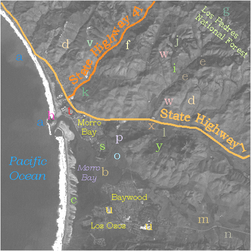
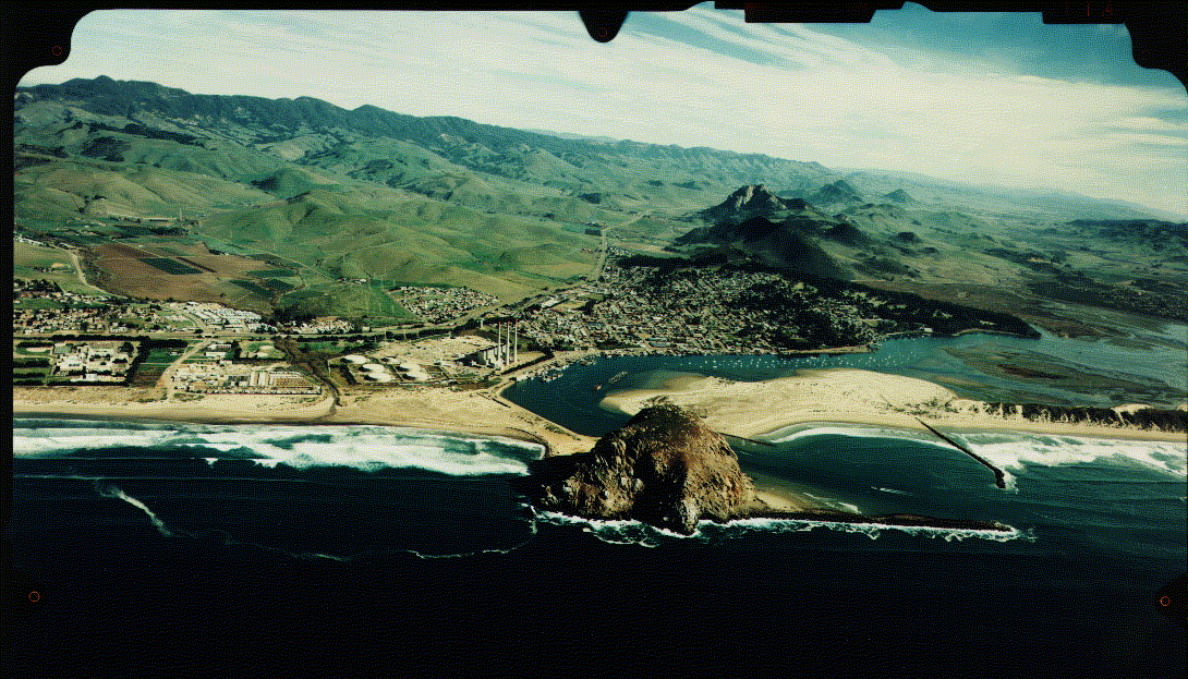
In this subscene, most slopes in this and the other bands are very light toned. This implies a scarcity of growing (green) vegetation and/or possible bare rock surfaces. In this Fall image, the hills are in their late stage brown phase and the influence of chlorophyll on reflectance is low. At higher elevations vegetation is greener and denser, as at (g), because more moisture is available (due to condensation of fog and local geology/topography). This denser vegetation appears in darker tones in band 1 and band 3 because chlorophyll absorbs blue and red wavelengths. In band 2 the green vegetation is only slightly darker than the dry grass in adjacent areas because chlorophyll reflects green most strongly in that part of the visible spectrum. As was evident in oblique air photo and the ground based photo , bedrock of granite is exposed in places within the scene. The best example, at (h), is Morro Rock itself, which is displayed in this image as a bright (sun-facing surface) spot just below a dark spot (its shadow).
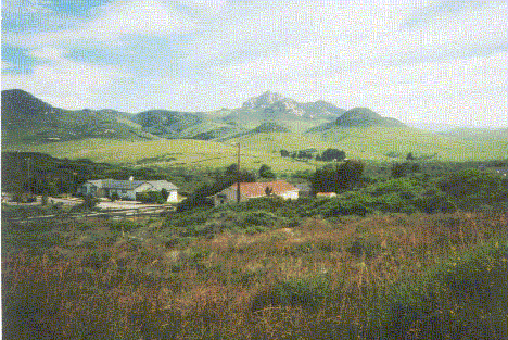
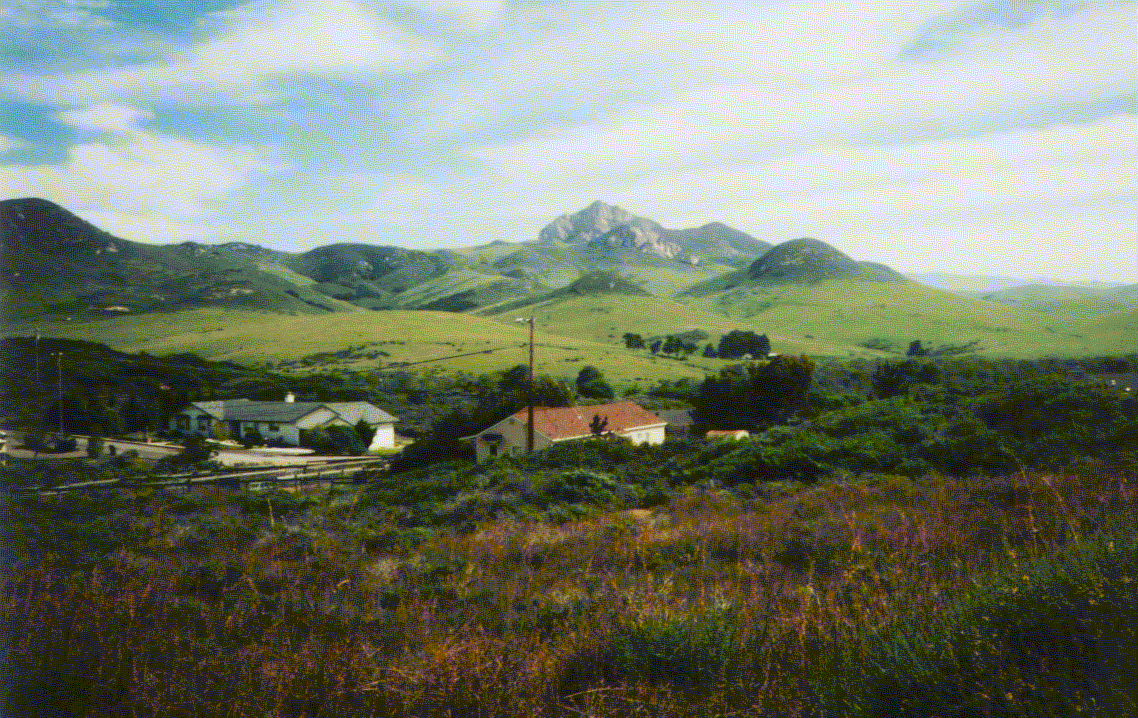
Two patterns correlate with actively-growing vegetation (which appear as somewhat darker tones in the first three TM bands [especially 1 and 3] ).At (i), long thin lines of dark tones correspond to vegetation, mostly trees and bushes, that cluster along the banks of narrow, probably intermittent, streams in the hills. Other, similar tones (as at j) in more irregular patterns are usually associated with copses and irregular stands of trees, some of which are noticeable in the aerial oblique photograph. At (k) and elsewhere, primarily in the valleys and lowlands, rectangular to somewhat irregular sub-equant to elongate dark-toned patterns are the expression of agricultural field plots containing actively growing crops (inspect the aerial oblique photograph again). Other irregular patterns in these settings, as at (l), may be fields of brush or scrub (see foreground in this photo) or even wetlands. Still other darker-toned areas, as at (m) and (n), that spread over wider expanses are likely either open uncultivated or now barren fields or lowlands that are sporadically covered with natural vegetation.
The large, roughly triangular area on which (o) is centered lies at the end of the small river (p) that courses across the terrain in the valley through which Highway 1 passes. At least part of this feature is a delta that has built up into Morro Bay. The vegetation it supports, rendered in moderately dark tones in this band, is characteristic of wetlands that develop as saltwater marshlands along a coast.
Code 935, Goddard Space Flight Center, NASA
Written by: Nicholas M. Short, Sr. email: nmshort@epix.net
and
Jon Robinson email: Jon.W.Robinson.1@gsfc.nasa.gov
Webmaster: Bill Dickinson Jr. email: rstwebmaster@gsti.com
Web Production: Christiane Robinson, Terri Ho and Nannette Fekete
Updated: 1999.03.15.